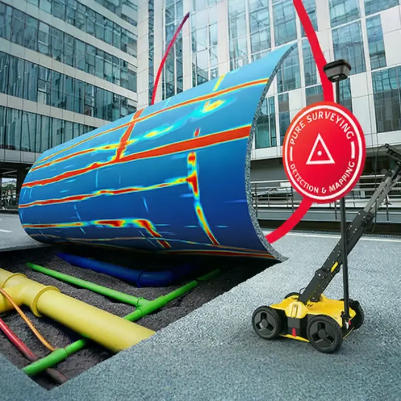
Minimize excavation risks with accurate underground utility detection.
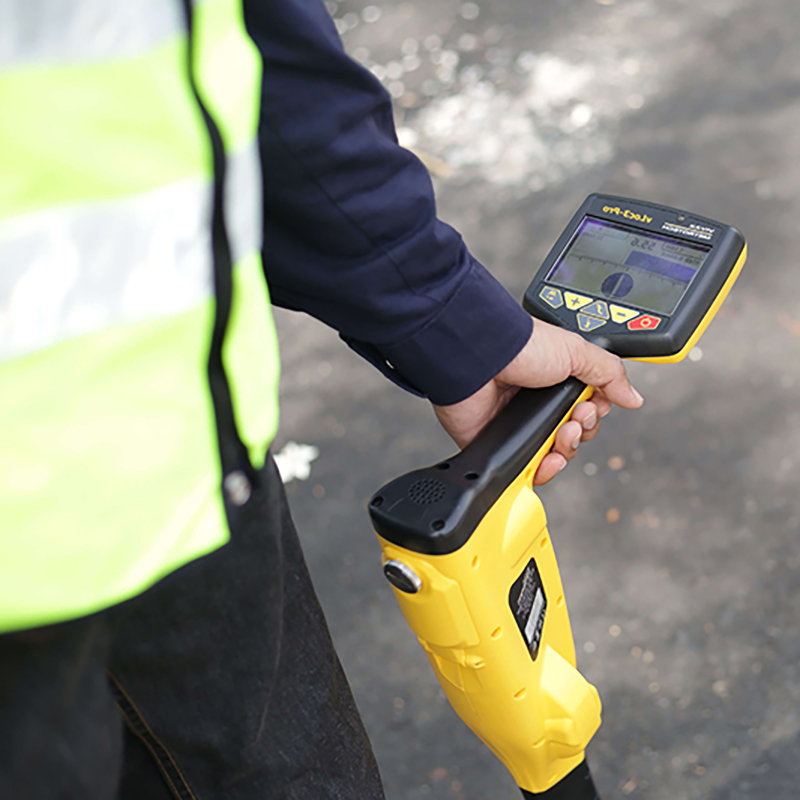
Complete calibrated tools including GPR, PCL & Gyro.
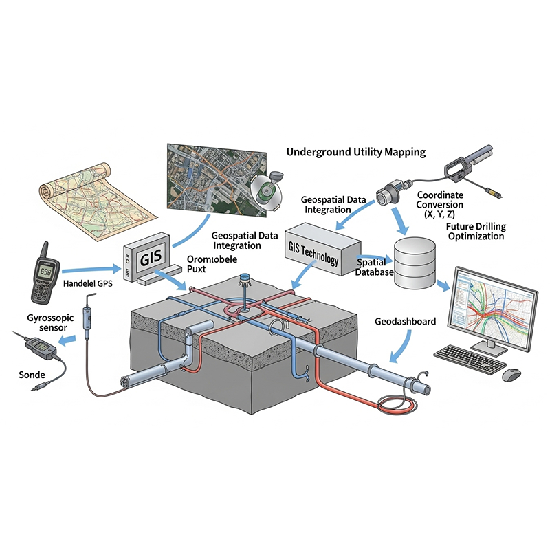
Interconnected processes from detection to spatial mapping in GIS platforms.
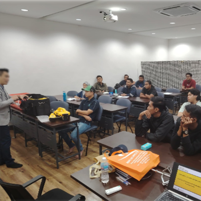
Skilled geomatics engineers trained and equipped in latest geomatics technologies.
JL Global Invision Sdn Bhd is a specialist in underground utility detection and geomatics services, proudly serving infrastructure and utility projects across Peninsular Malaysia.

Established in 2023 and fully acquired in 2024 as a wholly-owned subsidiary of Kum Fatt Engineering Sdn Bhd under UUE Holdings Berhad, we provide comprehensive solutions in Underground Utility Detection Mapping (UUDM), Tracing, Gyroscopic Surveying, and Geographic Information Systems (GIS).
With a strong commitment to precision, safety, and on-time delivery, our expert team and certified equipment ensure accurate, non-invasive subsurface data—empowering safer, smarter construction decisions.
To be Malaysia’s leading and most trusted provider of underground utility detection, tracing, gyroscopic surveying, and geographic information system (GIS) solutions—delivering innovative, data-driven insights using advanced technologies and certified equipment for safer, smarter infrastructure development.
We are committed to delivering exceptional quality and accuracy in every project by combining cutting-edge technology, skilled expertise, and a collaborative spirit. Our mission is to serve our clients with integrity, precision, and reliability—ensuring timely delivery, operational safety, and continuous improvement across all our services.
| Company Name | JL Global Invision Sdn. Bhd. |
| BRN | 1499031U / 202301005112 |
| info@jlglobal.com.my | |
| Phone | +607-3578532 |
| Office | No. 69, Jalan Teratai 7, Taman Johor Jaya, 81100 Johor Bahru, Johor, Malaysia. |
Our services are powered by advanced, industry-certified equipment and executed by a highly skilled technical team dedicated to precision, quality, and regulatory compliance. We provide a comprehensive range of underground utility detection and geomatics solutions, purpose-built to support safe, efficient, and data-driven infrastructure development throughout Malaysia.
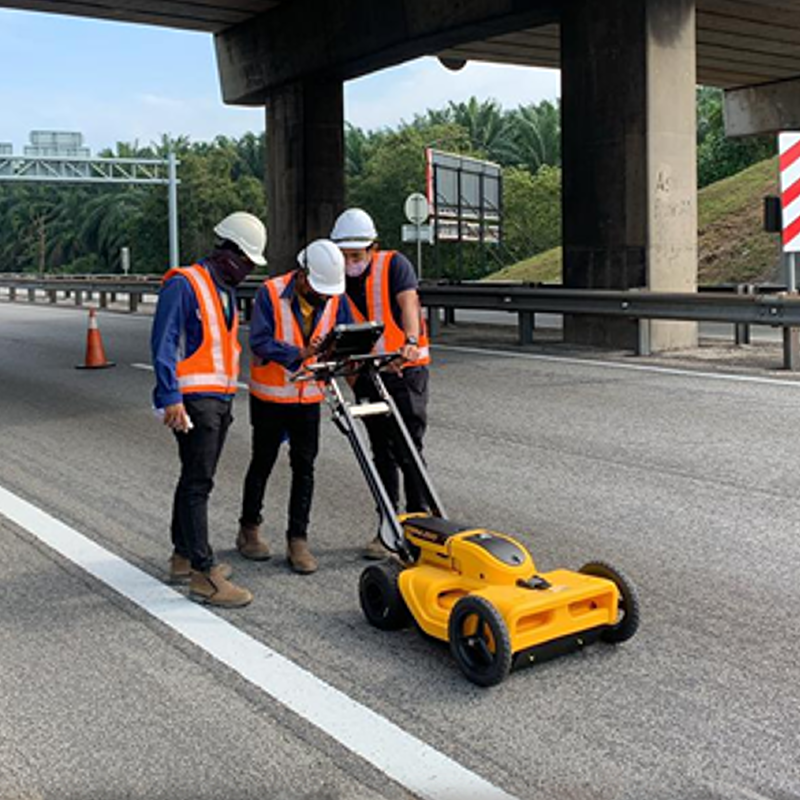
We provide non-invasive subsurface utility detection using Ground Penetrating Radar (GPR) and advanced locators to accurately identify and map buried utilities. This is essential for minimizing construction risks during excavation, HDD, and trenching works.
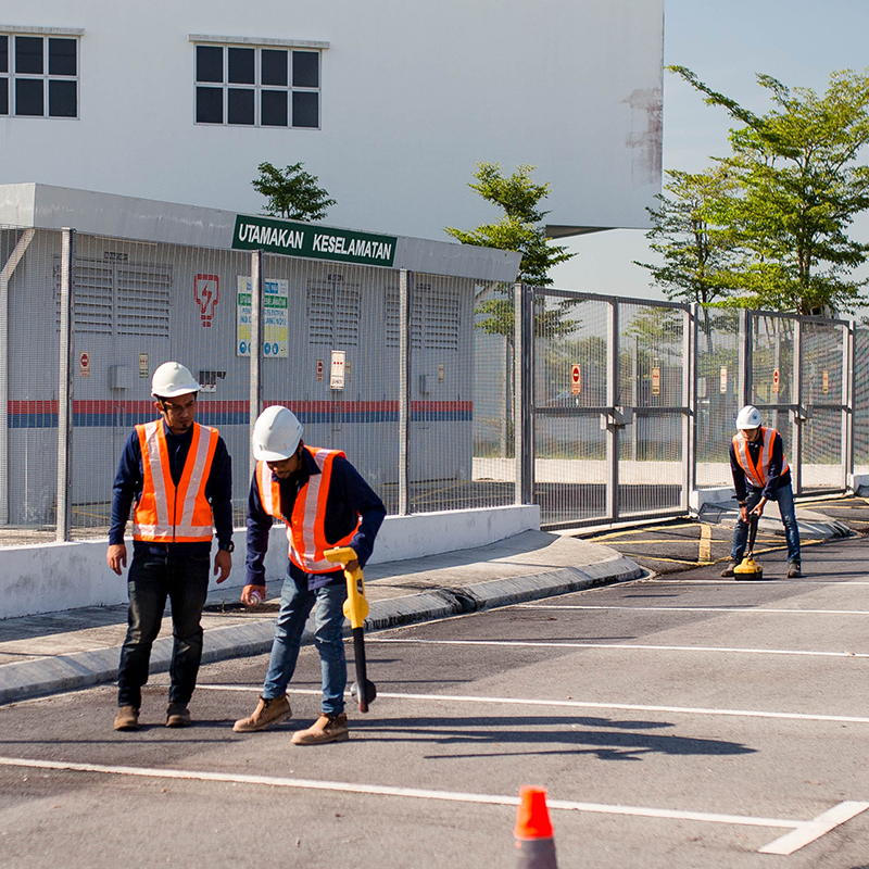
Our experienced team uses Pipe Cable Locators and calibrated instruments to trace the location, depth, and alignment of existing underground cables, pipelines, and conduits. This pre-excavation service reduces the risk of utility strikes and service interruptions.
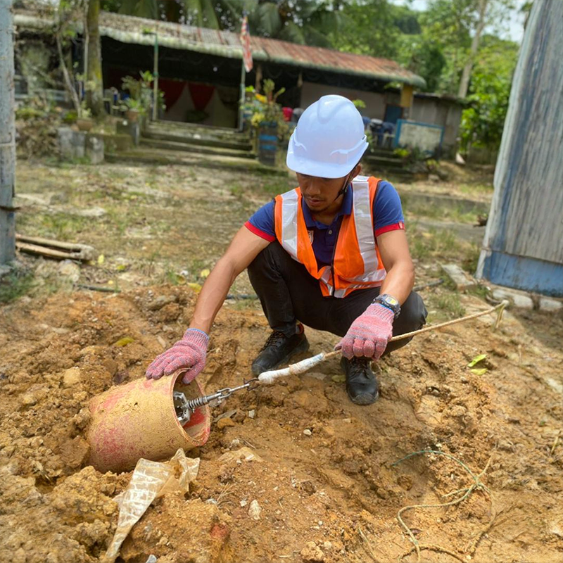
After Horizontal Directional Drilling (HDD), we deploy gyroscopic tools such as the ABM-90 to record as-built pipeline alignment in 3D. GPS coordinates are cross-verified on site, and the resulting data is exported to CAD for precise documentation and compliance.
We compile utility data into a geospatial database using advanced GIS platforms. All gyroscopic and locator data is captured in X, Y, Z coordinates to build a digital underground utility dashboard—essential for future planning, asset management, and engineering reference.